

About Better Mapandan
An independent civic transparency portal for the Municipality of Mapandan, Pangasinan.
The municipality
History
Mapandan was created as an independent pueblo on December 28, 1887, through Director General No. 39. After a period of financial insolvency (1905–1908) when it was re-absorbed into Mangaldan, the town was re-established as an independent municipality in 1909 under Executive Order No. 10 by Governor General James F. Smith. The town was named for the abundance of fragrant pandan plants in the area.
Geography
Mapandan is a third-class municipality in the province of Pangasinan, Philippines. It covers a land area of 32.92 km² and is composed of 15 barangays. The municipality is located in the western part of Pangasinan, bordered by the Lingayen Gulf to the north and the Agno River floodplain to the south.
Population
38,228
PSA Census 2024Land Area
32.92 km²
MPDC Land Use Plan 2024Barangays
15
DILG / ComelecLocal traditions and community life
Pandan Festival
Held annually during the second week of April, the Pandan Festival celebrates Mapandan's cultural heritage with street dancing, pageants, and community gatherings.
Town Plaza
The historic center of Mapandan's community life and civic gatherings.
Agriculture
Rice fields and farmland across Mapandan's countryside — the agricultural heart of the municipality.
Mapandan through the years
From southern barrios of Mangaldan to an independent pueblo—and back again. Mapandan’s first two decades were defined by the courage of its founders, the fragility of a new town, and the determination to rise again.
Before 1887: Southern barrios of Mangaldan
Before Mapandan existed as an independent pueblo, the area belonged to Mangaldan. The future municipality consisted of southern communities including Payapay, Baloling, Apaya and Amanoaoac.
The movement toward establishing a separate town was initiated by ten local leaders: Antonio Morales, Sabino Prado, Andres Bongato, Ambrosio Calimlim, Valeriano Tamondong, Tomas Aquino, Fulgencio Nato, Filomeno Sarmiento, Jose Lalas, and Florencio Datuin.
December 28, 1887: Mapandan becomes a pueblo
Mapandan was established as an independent pueblo through Direction General No. 39, Administration Civil No. 169-C, signed by Governor General Emilio Bravo. The new pueblo was initially composed of the southern barrios of Mangaldan: Payapay, Baloling, Apaya and Amanoaoac.
The first town center: Torres
The first center of the new pueblo was in what is now Barangay Torres. The area had abundant pandan plants and was associated with a church where Fr. Jose Torres served as parish priest. However, the location proved inconvenient—too close to the southern boundary and too far from communities to the north.
The center was eventually transferred to an area that had previously been a sitio of Apaya. Much of the land in the new Poblacion was owned by the Aquino family. Leon Hilario Aquino encouraged settlement by subdividing land into uniform lots and making them available to families.
1903: The epidemic
An epidemic severely affected Mapandan, causing major population depletion, residents leaving the town, declining municipal resources, and a financial crisis. The 1903 census recorded Mapandan’s population at 4,198.
1905–1908: Return to Mangaldan
Because of the population and financial problems caused by the epidemic, Mapandan was temporarily returned to its mother municipality, Mangaldan.
1909: Restoration
Mapandan was formally re-established as a municipality under Executive Order No. 10, signed by Governor General James F. Smith.
After its restoration, Mapandan developed as a predominantly agricultural community. Farming remained central to the local economy, with rice becoming the municipality’s principal crop. The decades ahead would bring war, occupation, and the beginning of reconstruction.
Agricultural foundations
Rice became the municipality’s principal crop and livestock raising developed as an important secondary livelihood. The municipality’s current seal still reflects these agricultural foundations through its rice, cattle, chicken and hog imagery.
1940s: War, occupation and rebuilding
The Second World War interrupted the development of communities across Pangasinan. In the postwar years, Mapandan’s communities entered a period of reconstruction and social and economic change. The decades following the war also brought changes in landholding, agriculture, education and local community organization.
After the war, Mapandan’s communities began to take shape. New barangays were formed, land ownership changed hands, and the municipality entered a period of organized community development.
Barangays begin taking shape
Instead of only telling municipal history, the history of how Mapandan’s communities formed tells an equally important story.
Sta. Maria — Formerly part of Luyan, developed from former hacienda land. Tenants gained opportunities to own the land they had been farming after the war. It became a separate barrio in 1965.
Golden — Formerly Amanoaoac North, a sitio of Amanoaoac. Its name was associated with the Golden Distillery, which operated after liberation. Golden became a separate barangay in 1967.
Torres — The first seat of Mapandan, which once contained several sitios that later developed into separate barangays.
1967–1973: Community development
Golden was officially approved as a separate barangay in 1967. The community then underwent substantial development including road improvement, waterworks, school construction, sports facilities, cooperative organization, agricultural training, and sanitation programs.
1972 — Golden was recognized as a SEATO/PACD Model Village, receiving a national-level award presented in Malacañang on September 8, 1972.
1972–1973 — Coral became a barangay through Municipal Council Resolution No. 87 (May 4, 1972), Provincial Board Resolution No. 155 (August 10, 1972), and Proclamation No. 11 (April 25, 1973), followed by a special election for barangay officials on May 6, 1973.
Mapandan’s population grew substantially, its services expanded, and infrastructure developed. The municipality moved from historical survival toward economic growth.
Population growth
Mapandan’s population grew steadily through the second half of the 20th century: 20,094 in 1980, 25,622 in 1990, and 30,775 in 2000.
Infrastructure and services
The municipality expanded roads, schools, health facilities, and public services. Community organizations grew alongside the population.
From a new municipal classification to healthcare expansion and digital government—Mapandan enters the 21st century with growing services, cultural pride, and a more connected community.
2002: A new municipal classification
Mapandan was elevated to a third-class municipality. The municipality credits then-Mayor Jose Ferdinand Z. Calimlim Jr. with spearheading income and revenue-generation strategies that contributed to the municipality’s elevation.
2010s: Celebrating the Pandan heritage
The Pandan Festival developed into an important annual celebration of Mapandan’s identity, culture and community. The 9th Pandan Festival was held alongside the town fiesta from March 11–19, 2018.
2017–2018: Early digital government efforts
The municipal government began developing an online presence that made government information, public notices, disaster information and community announcements accessible through the web.
2022–2024: Expanding healthcare access
National health infrastructure funding supported the development of the Mapandan Super Health Center. The 2022 General Appropriations Act included ₱6.5 million for the project. Its first phase was inaugurated on March 15, 2024, expanding access to laboratory, dental and primary healthcare services for residents of Mapandan and nearby communities.
2020s: Government services go digital
Mapandan’s government information infrastructure increasingly incorporates digital channels, including information and access guidance for the national eGovPH platform.
2024: Mapandan today
More than 130 years after its establishment as a pueblo, Mapandan is a 15-barangay municipality with a population of 38,228. Its history has been shaped by migration, agriculture, community organization, local government, cultural traditions and continuing investment in public services.
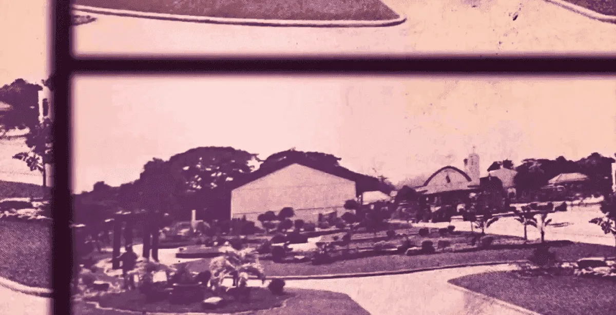
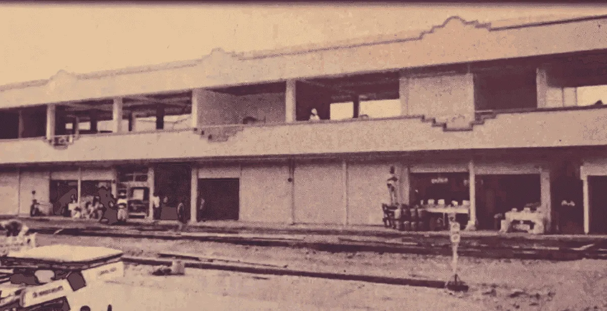
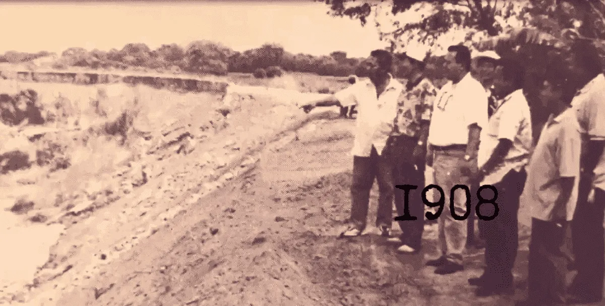
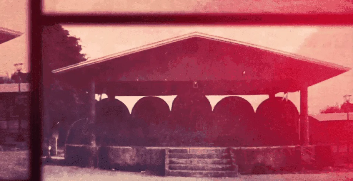
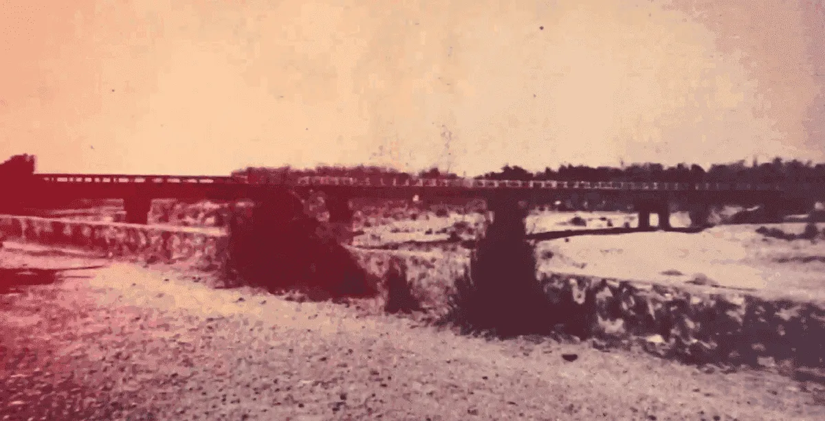
Source: Mayor Karl Vega, “History of Mapandan” — YouTube
Mapandan through the census
| Year | Population |
|---|---|
| 1903 | 4,198 |
| 1918 | 6,049 |
| 1939 | 7,286 |
| 1948 | 9,836 |
| 1960 | 13,065 |
| 1970 | 16,653 |
| 1980 | 20,094 |
| 1990 | 25,622 |
| 2000 | 30,775 |
| 2010 | 34,439 |
| 2020 | 38,058 |
| 2024 | 38,228 |
Source: Philippine Statistics Authority, Census of Population (1903–2024)
What is Better Mapandan?
Better Mapandan is an independent civic transparency portal built and maintained by volunteers. It is part of the BetterGov.ph initiative to create open, accessible civic information websites for Philippine municipalities.
Our Mission
To make government information accessible, understandable, and actionable for every Mapandan resident. We believe that open data strengthens democracy and empowers communities to participate meaningfully in local governance.
How It Works
We compile publicly available government data — from COA audit reports, PSA census data, municipal disclosures, and provincial issuances — into a single, easy-to-navigate website. Every piece of information is sourced and attributed.
Open Source
The source code is publicly available. Developers can contribute, audit, and improve the platform.
View on GitHub →Independent
Better Mapandan is an independent civic transparency portal. It is not an official government website and is not affiliated with, endorsed by, or operated by the Municipality of Mapandan or any government agency.
Volunteer-Run
Built and maintained entirely by volunteers. No government funding is used. Cost to the people of Mapandan: ₱0.
Get involved
Better Mapandan thrives on community participation. Here's how you can help:
Report Incorrect Information
Spotted an error? Help us keep the data accurate by reporting mistakes.
Report an error →Contribute Code
Developers can contribute features, fix bugs, or improve accessibility on GitHub.
Fork on GitHub →Verify Data
Help verify government information by cross-referencing with official sources.
Submit verification →Share with Residents
Spread the word about Better Mapandan so more residents can access government information.
Important notice
Better Mapandan is an independent civic transparency portal. It is not an official government website and is not affiliated with, endorsed by, or operated by the Municipality of Mapandan or any government agency.
Information presented on this site is compiled from publicly available government sources and community research. While we strive for accuracy, we cannot guarantee the completeness or timeliness of all data. For official government information, please visit mapandan.gov.ph or contact the municipal government directly.